Service 01 / 08
Land Surveying
Field data and site understanding supporting layouts, quantities, and infrastructure decisions.
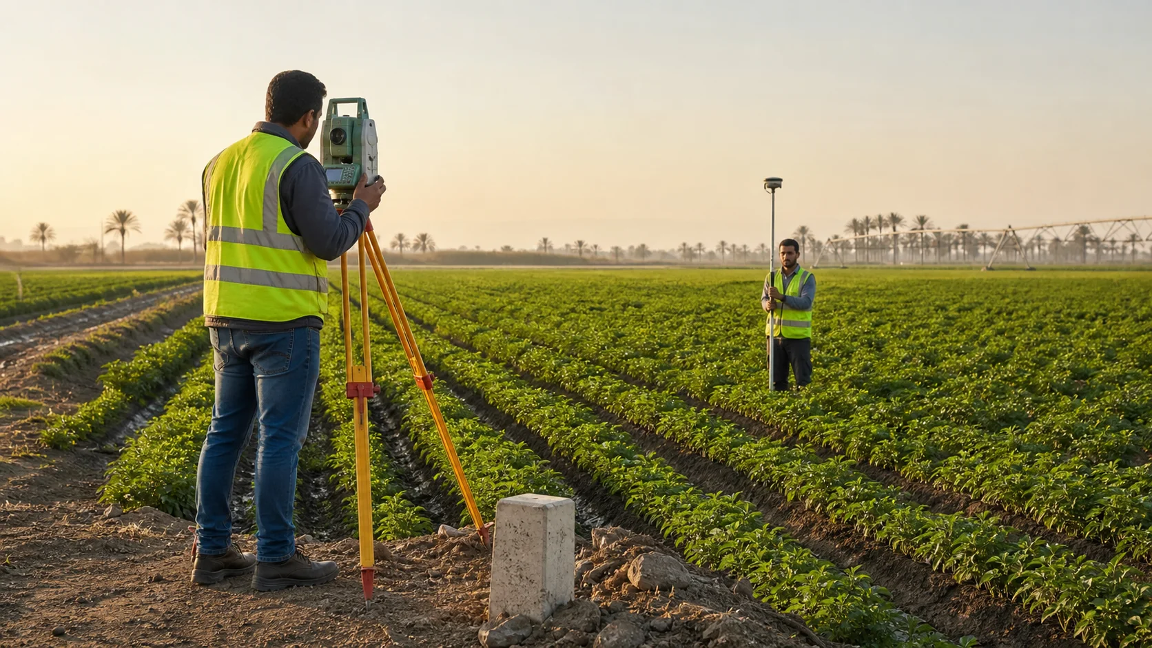
Site intelligence
- 01Topographic and level surveys
- 02Boundary and control-point establishment
- 03Infrastructure route setting-out
Site intelligence
The operating brief.
A reliable agricultural project begins with an accurate picture of the land. We establish the site geometry, levels, boundaries, and physical constraints that guide every system designed after it.
Scope of service
What the work connects.
The exact scope is adjusted to the site, project stage, and interfaces with the wider agricultural system.
Boundary and control-point establishment
Infrastructure route setting-out
As-built verification and quantities
Delivery sequence
A controlled technical path.
Each stage produces information that can be checked before the next commitment is made.
Review
Confirm available records, site limits, intended development, and the required survey accuracy.
Capture
Establish control and collect coordinated field measurements across the relevant project area.
Interpret
Translate measurements into clear surfaces, constraints, routes, and design-ready information.
Verify
Return to the field for setting-out or as-built checks as execution progresses.
Typical handover
Clear outputs, ready for the next decision.
- Survey control register
- Level and contour information
- Design-ready base drawings
- Setting-out or as-built records